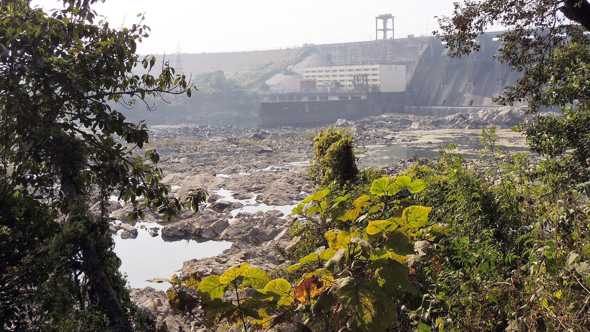
Panchet Dam, Dhanbad
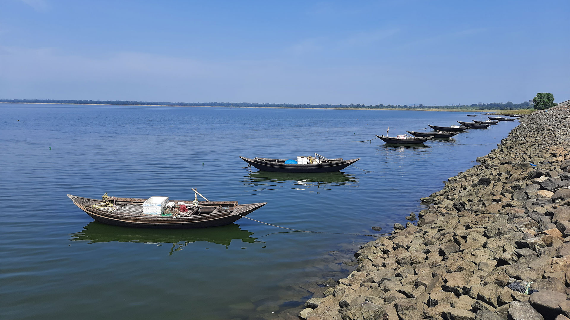
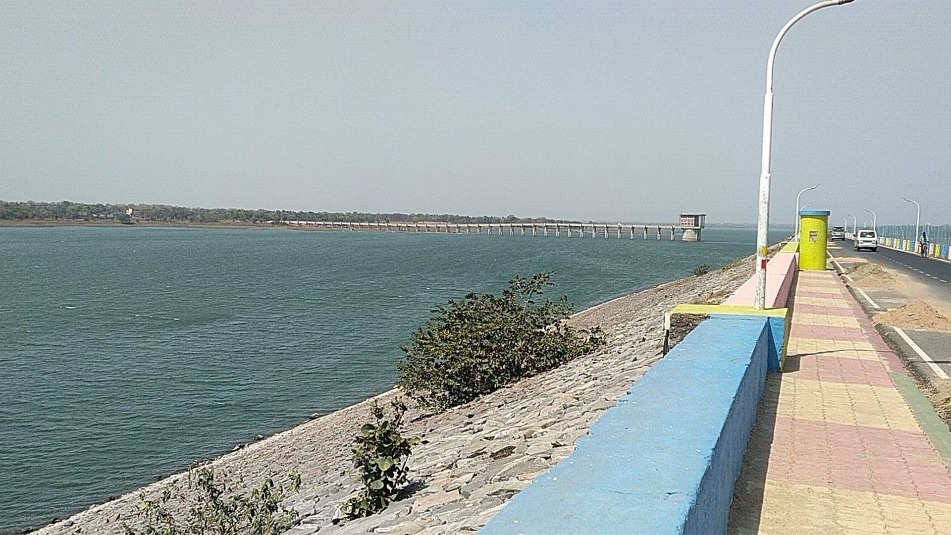
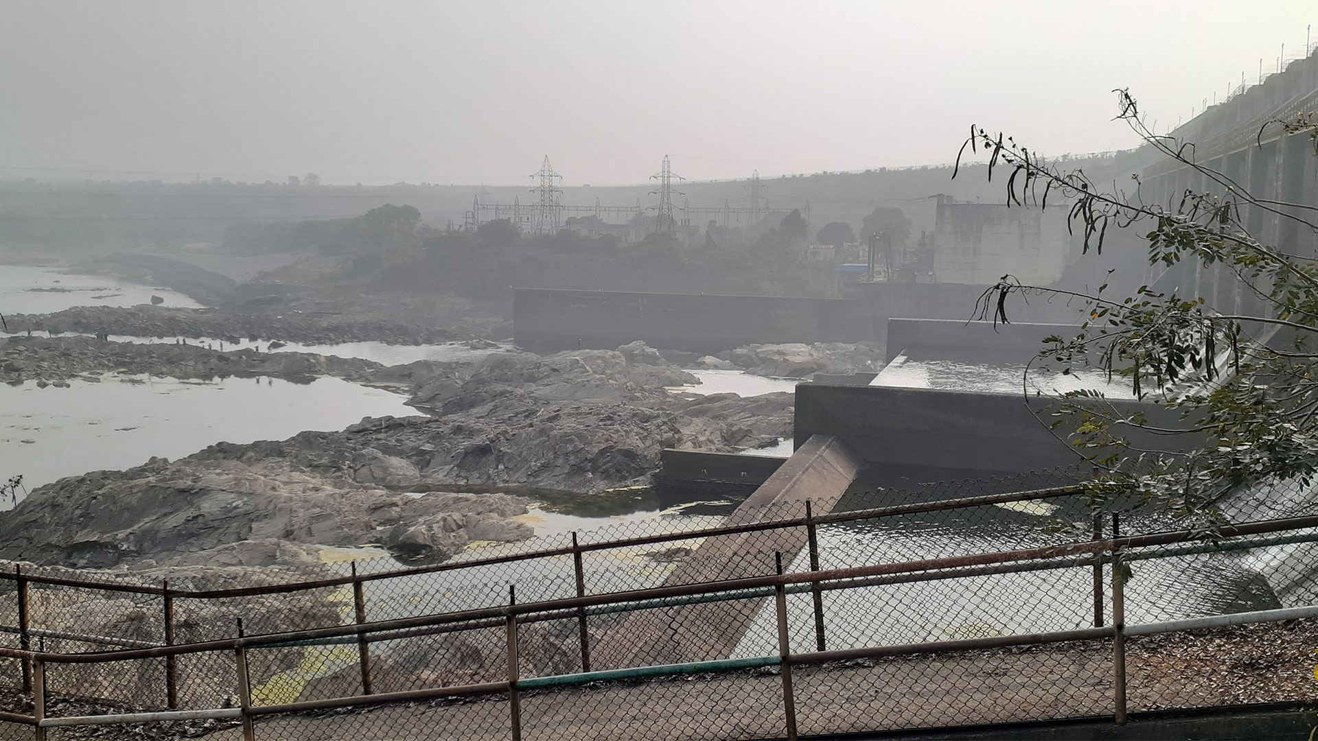
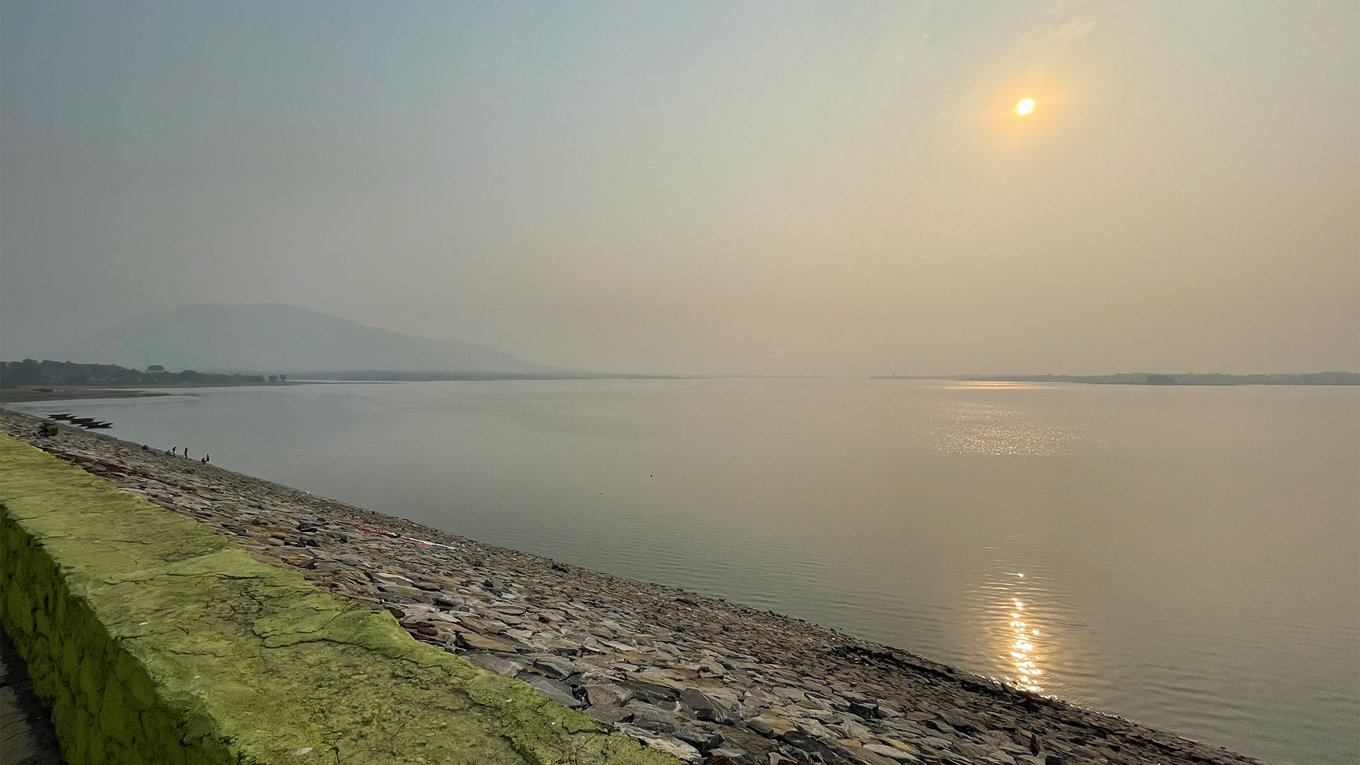
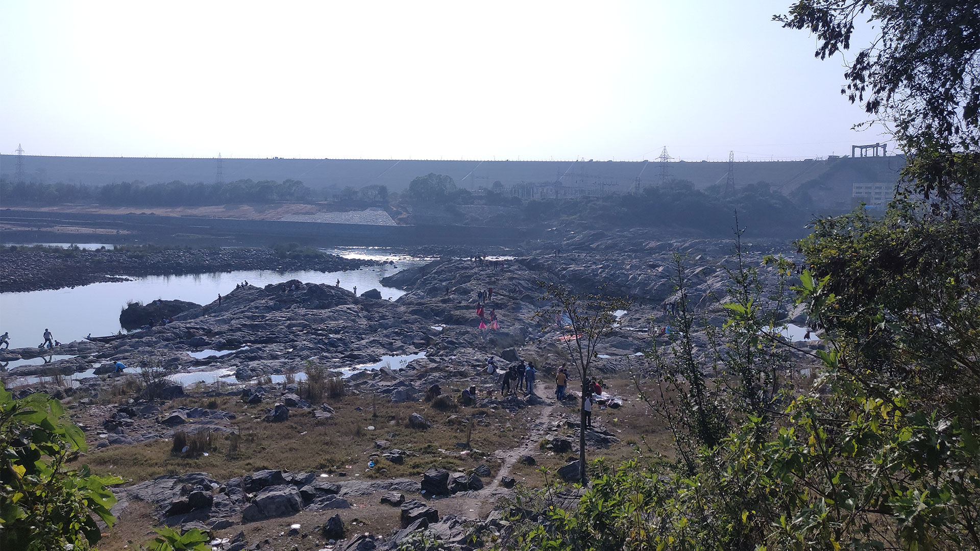
The Damodar Valley Corporation's (DVC) first phase contained four multi-purpose dams, the last of which was the Panchet Dam. It was built across the Damodar River in Panchet, Dhanbad district, Indian state of Jharkhand, and opened in 1959.
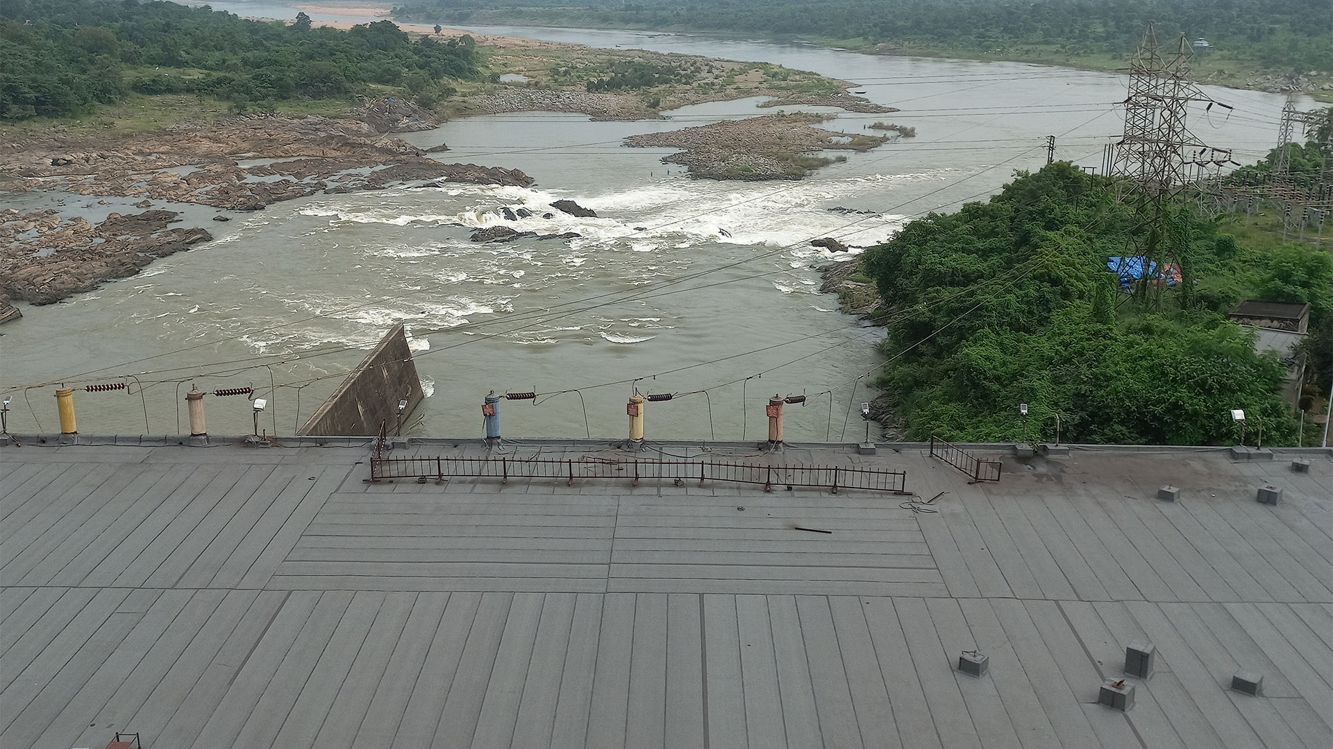
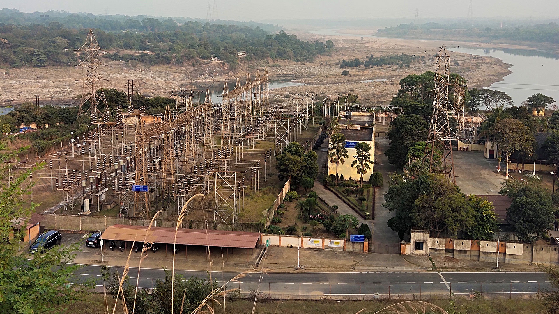
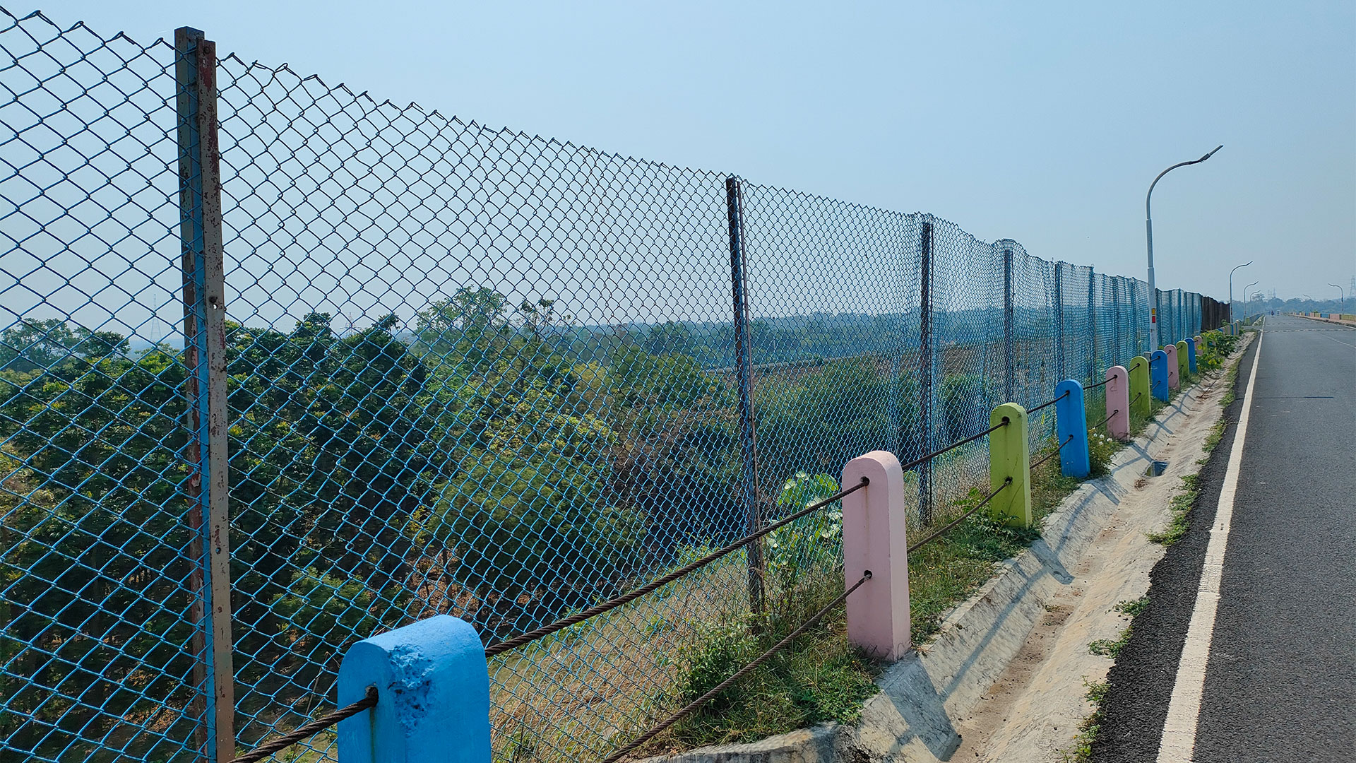
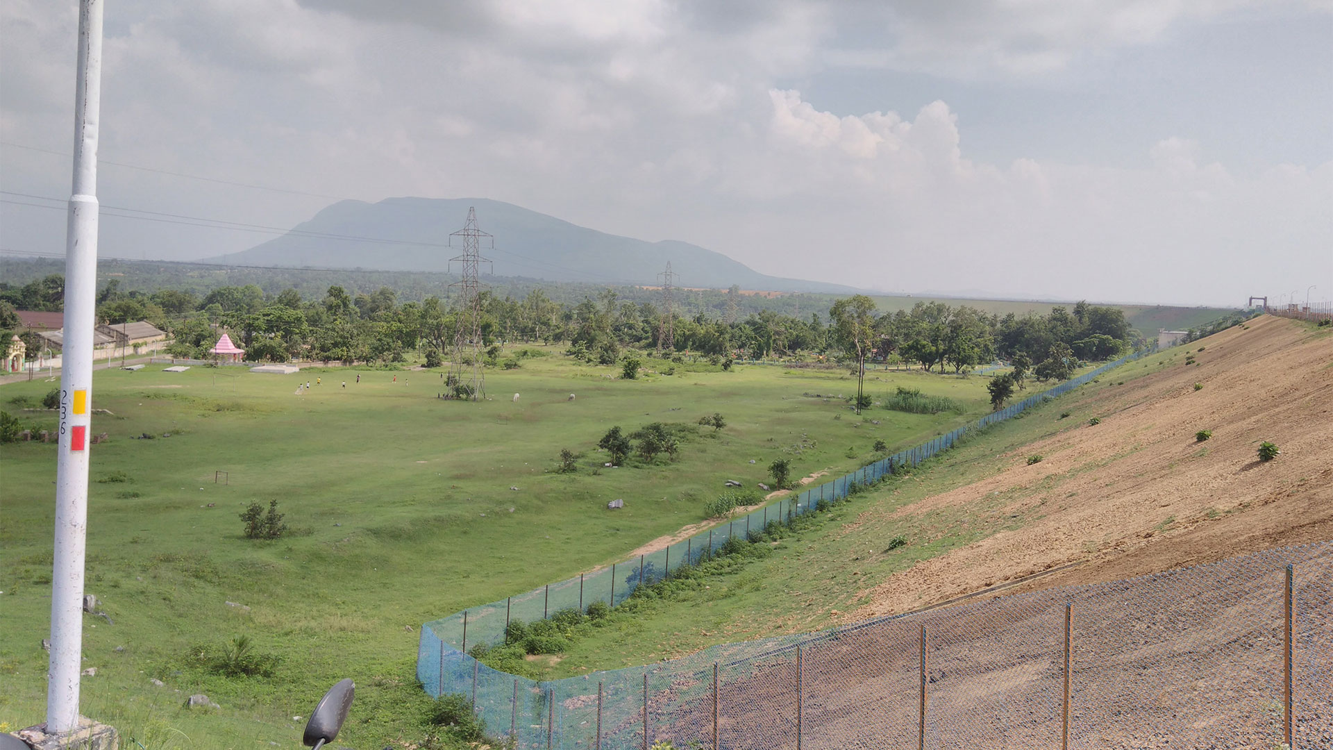
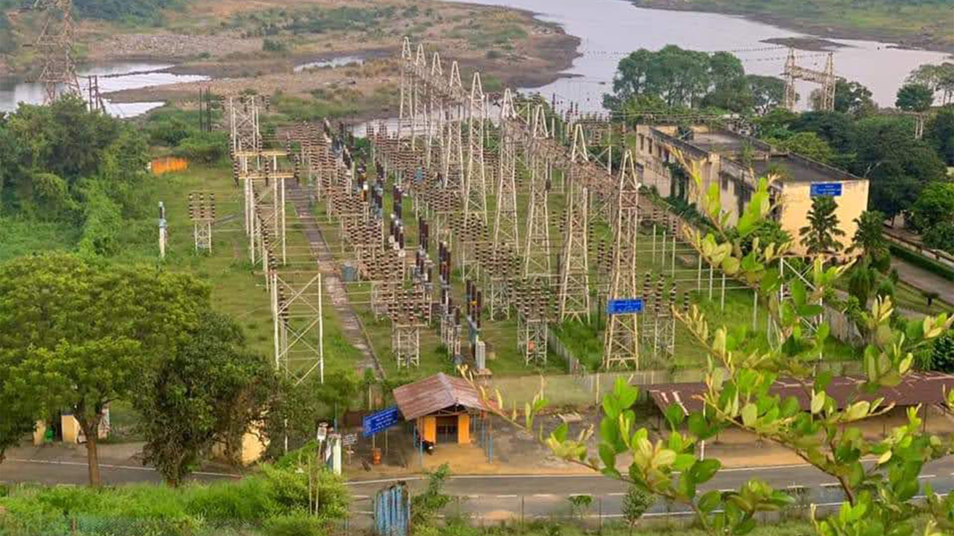
The Panchet Dam is an earthen dam with a concrete spillway. It covers a catchment area of 10,961 square kilometers (4,232 square miles). The average annual rainfall is 114 centimeters (45 inches), and the average annual runoff is 4,540 m3 (160,000 cubic feet). The dam site's largest observed flood (June 1949) was 8,558 m3 (302,200 cu ft) per second. The project's spillway design flood was 17,853 m3 (630,500 cu ft) per second. Two 40-MW units have been erected for power generation.
The four DVC dams can handle floods of 651,000 cu ft/s (18,400 m3/s) to 250,000 cu ft/s (7,100 m3/s).
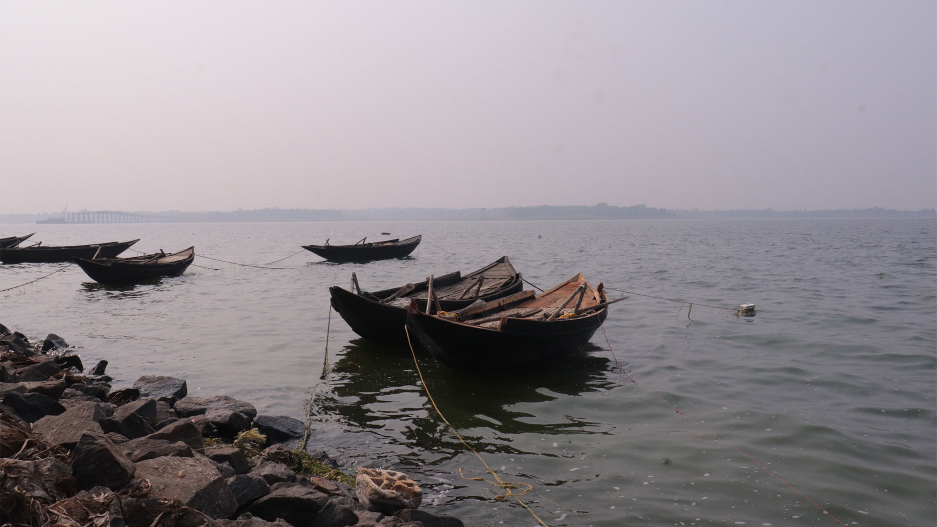
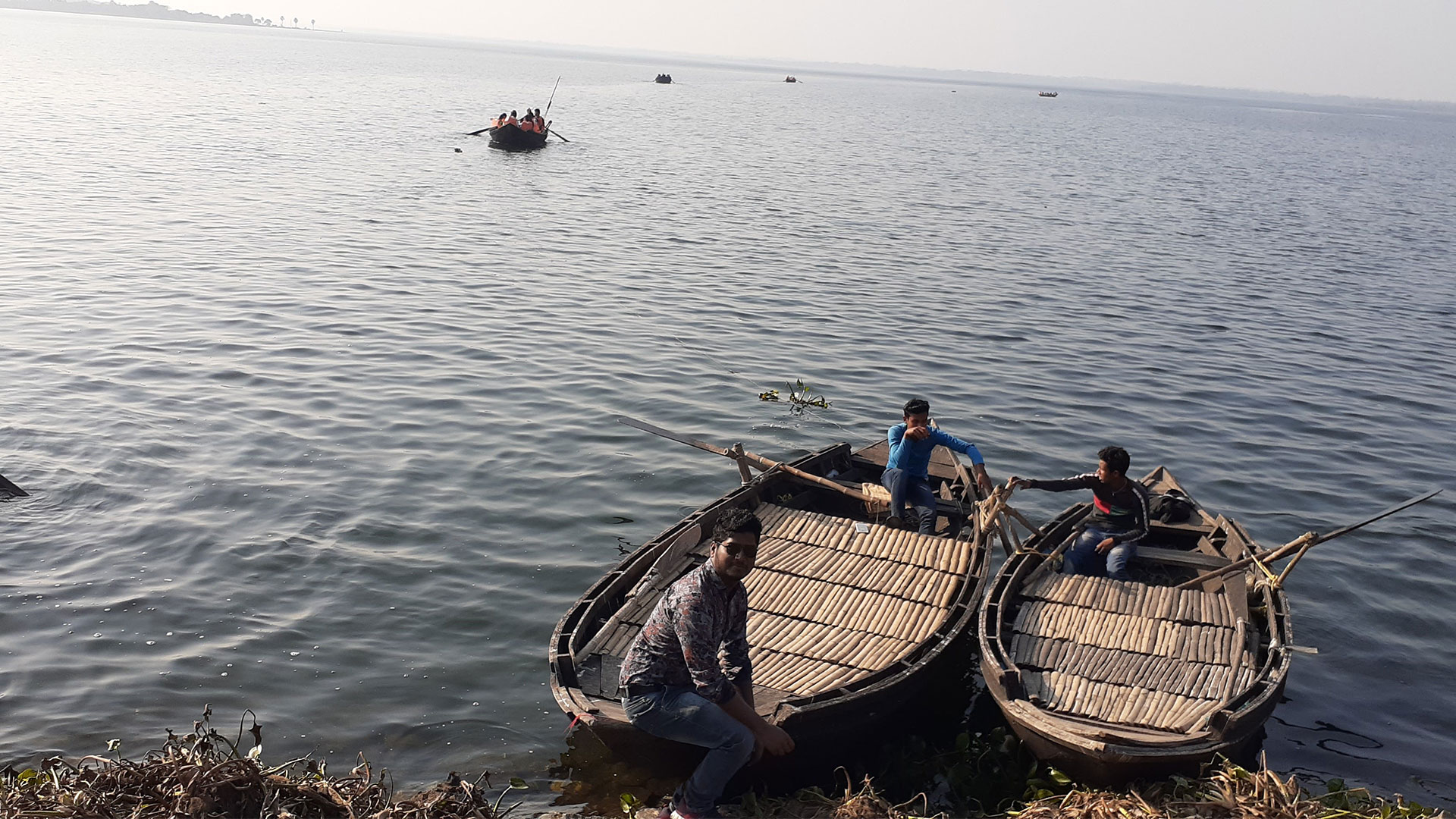
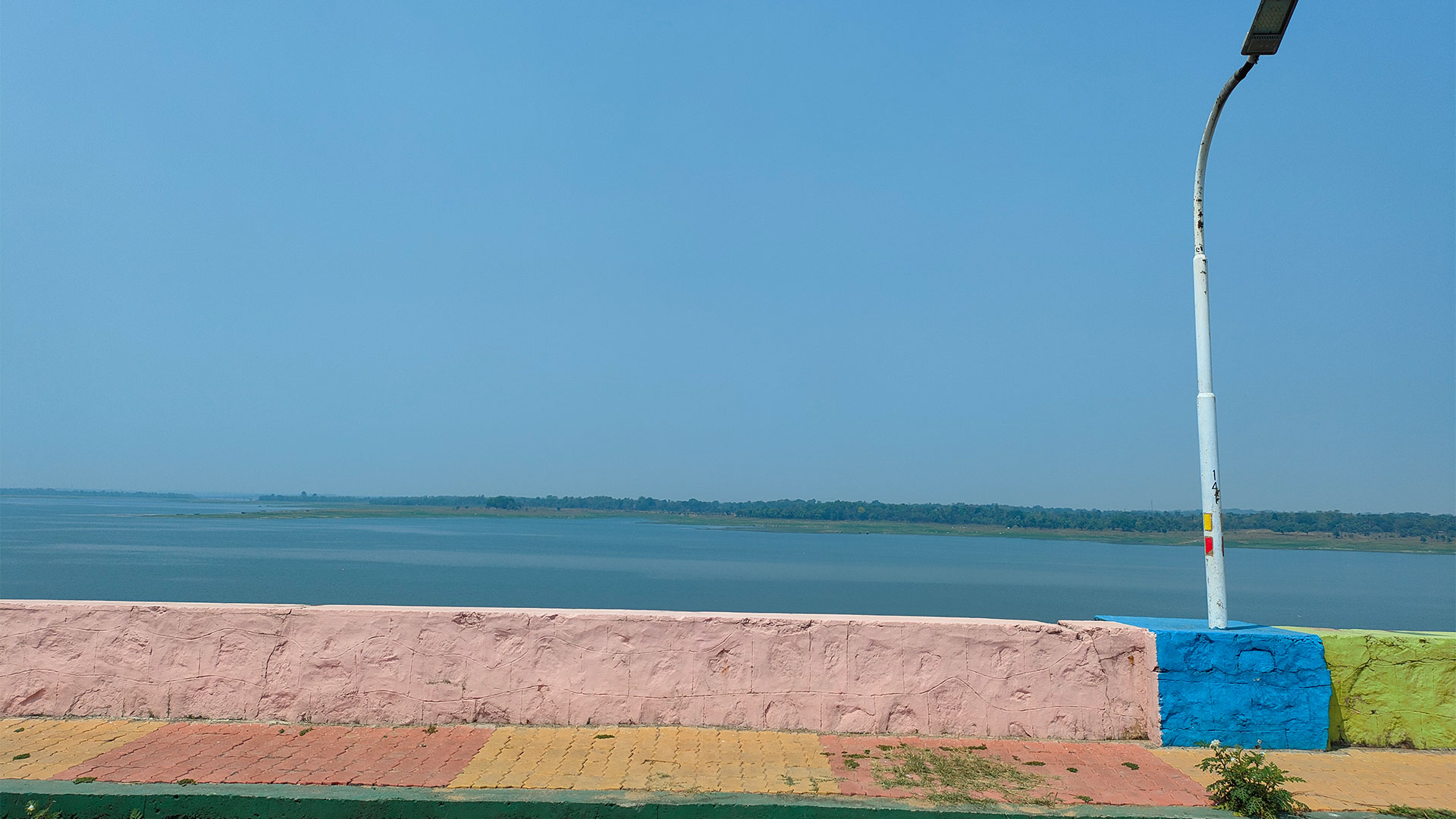
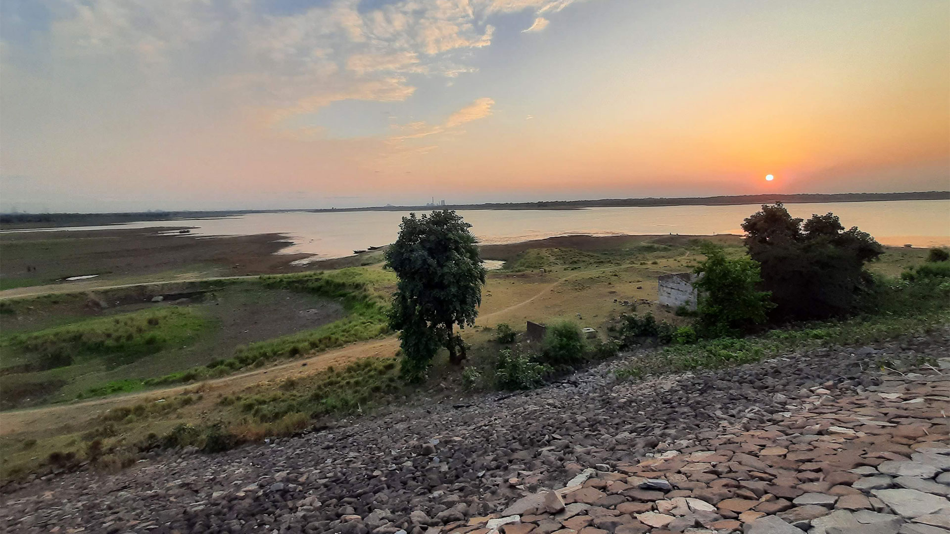
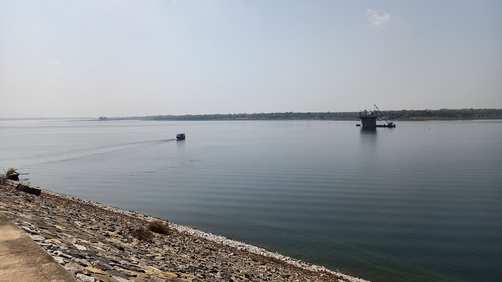
The Panchet Dam has a storage capacity of 85,170,370,000 m3 (3.007763×10¹² cu ft) for dead storage and 1,497.54 m3 (52,885 cu ft) for top gates. The reservoir has an area of 27.92 km2 (10.78 sq mi) at dead storage level, 121.81 km2 (47.03 sq mi) at maximum conservation pool, and 153.38 km2 (59.22 sq mi) at the top of gates.
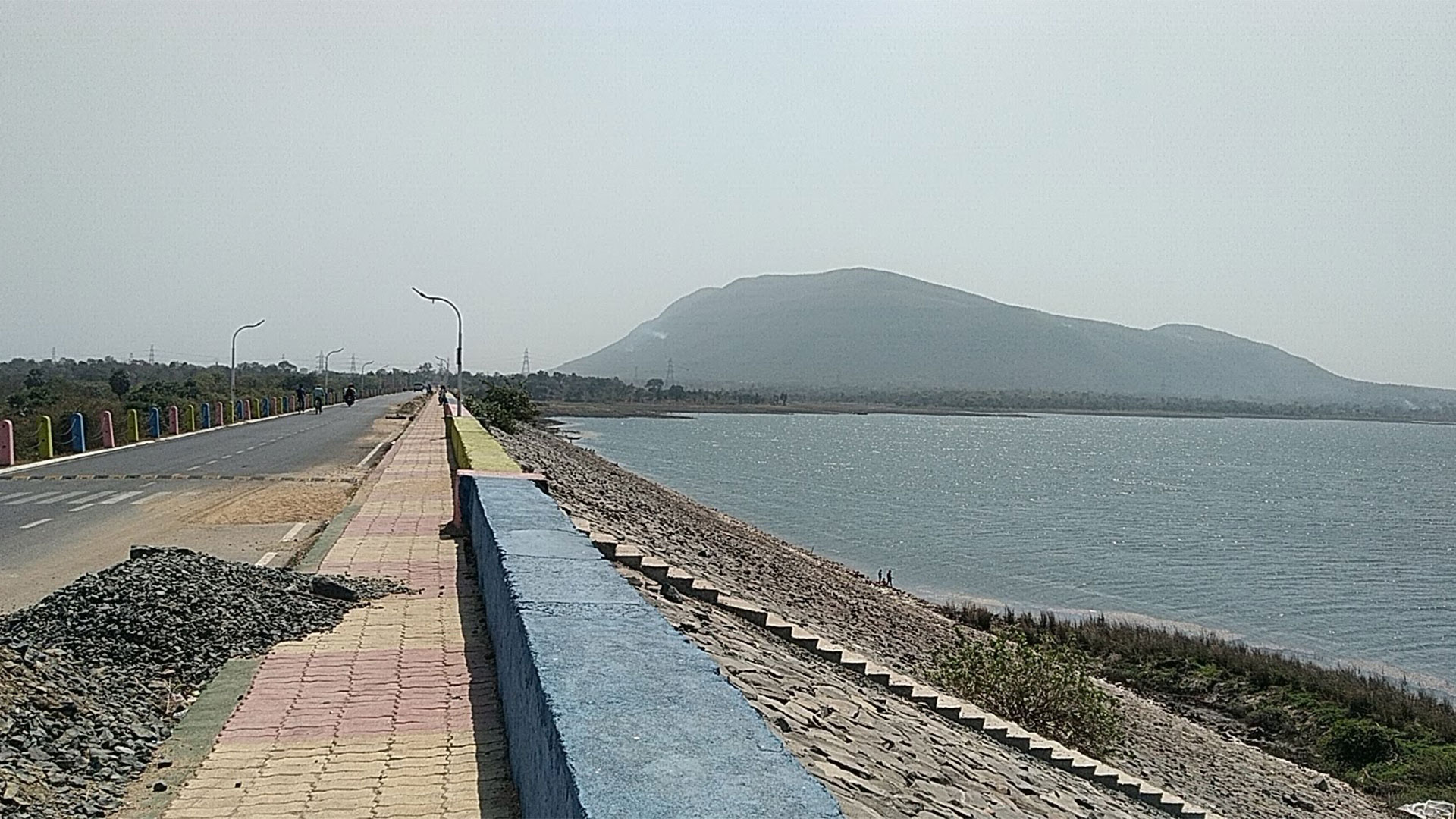
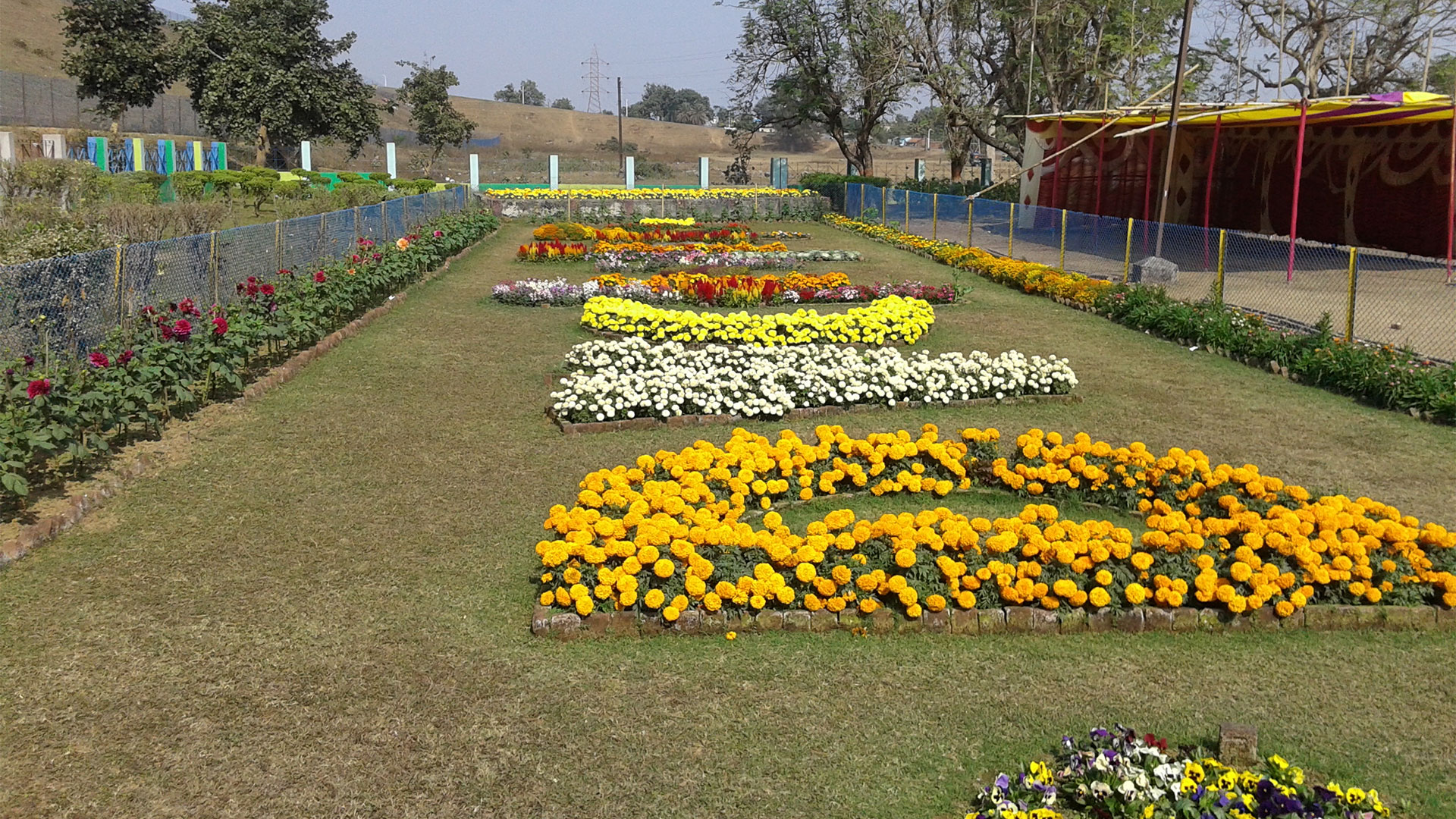
The Damodar forms the border between Jharkhand's Dhanbad district and West Bengal's Purulia district before merging with the Barakar near Dishergarh and flowing through West Bengal. Panchet Dam has been built just above its confluence with the Barakar. Purulia district lies on the southern bank of the Panchet reservoir, whilst Dhanbad is on the northern. Panchet Hill rises above the Panchet Dam.
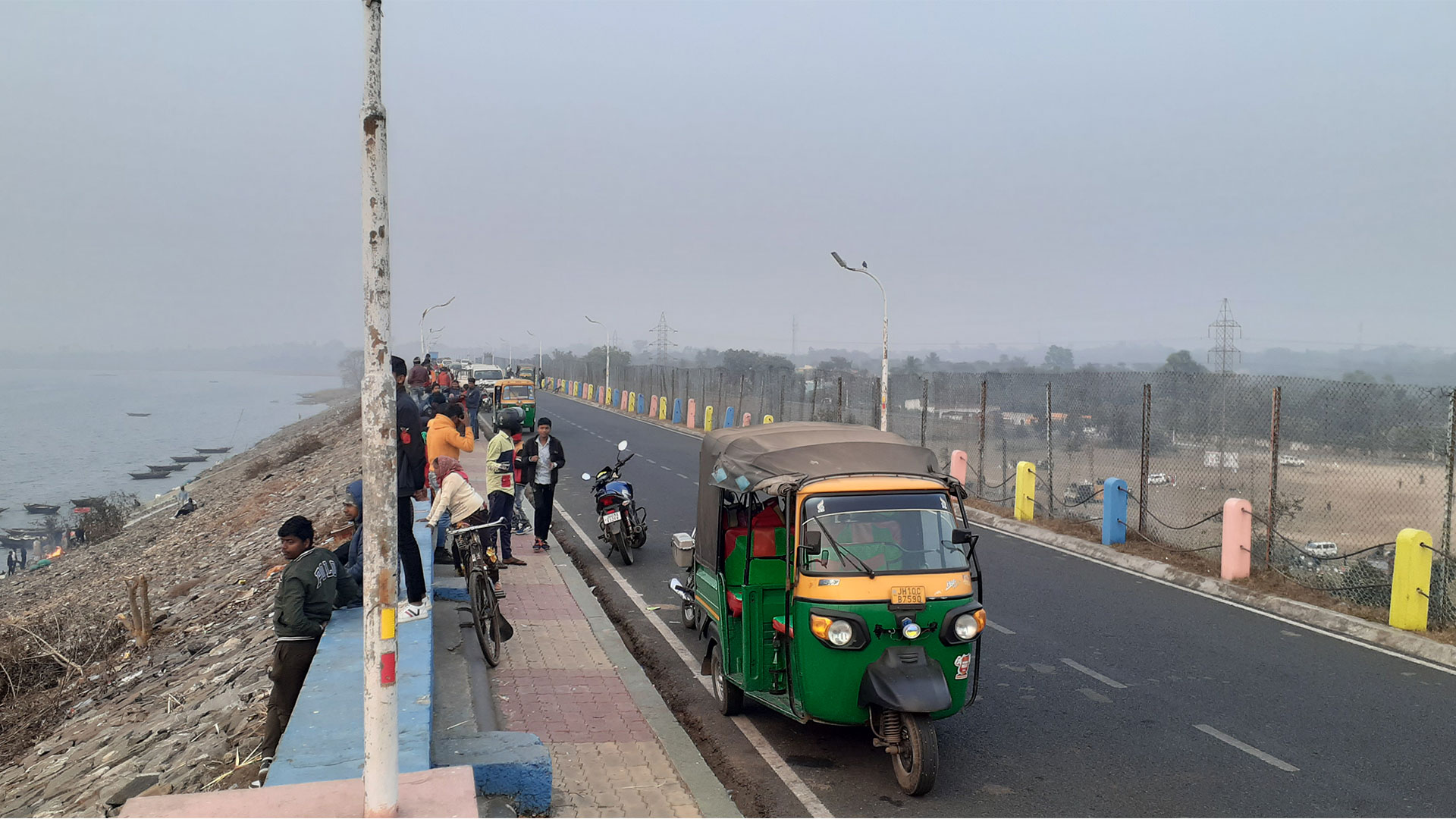
Panchet Dam is located 9 kilometres (5.6 miles) from Chirkunda on Grand Trunk Road and 54 kilometres (34 miles) from Dhanbad. It's 20 kilometers (12 miles) from Asansol. The nearest railway station is Kumardubi, which is 10 kilometers (6.2 miles) distant on the Grand Chord line.


